App helps drone pilots avoid no-fly zones
- Published

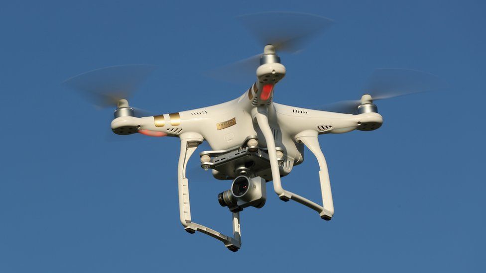
An app that tells drone owners if they are flying in or near restricted airspace has been created by the UK's National Air Traffic Control Service.
The "drone assist" app gives pilots an interactive map of their surroundings and will warn if they are near airspace used by commercial aircraft.
The map also shows if a drone is being flown near places, such as schools, where there could be privacy issues.
The app will be available on Android and iOS app stores from 3 December.
Crowded skies
"With the number of drone incidents on the rise, it's clear that many people are unaware of the rules or their legal obligations as pilots," said Phil Binks, Nats' drone spokesman, in a statement.
The UK Airprox Board, which monitors so-called near-misses involving commercial aircraft, said there had been 50 incidents involving drones getting too close to passenger jets in 2016. In 2015, it said, there were only 11 reports.
Drones should not be flown near aircraft, airports and airfields, said Mr Binks.
The app also includes a feature that lets drone owners report and share locations in which it is safe to fly a drone. This should help reduce the number of incidents in which drones impinge on congested airspace, added Mr Binks.
UK rules governing drones require pilots to always keep their craft in sight, stay below 120m (400ft) and stay at least 50m (150ft) from buildings and people. In built-up areas or around crowds the recommended minimum safe distance is 150m (500ft).
The app aims to help drone pilots fly safely and keep craft operating within the guidelines, said Mr Binks. A recent survey by the UK's Civil Aviation Authority found that 60% of drone owners did not know about the safe flying rules in the drone code.
- Published25 November 2016
- Published14 October 2016
- Published6 September 2016
- Published5 April 2016


