Ocean mapping XPRIZE cuts teams to 21
- Published

The international competition to drive innovation in seafloor mapping has announced the teams that will take part in its semi-final stage.
Twenty-one groups will be in with a shout of winning the $7m Shell Ocean Discovery XPRIZE.
Some are professional scientists and engineers; some are just students.
Each team will enter a 2,000m-deep, 500-sq-km test zone in turn later this year and try to map at least 20% of it at a resolution of 5m.
They will also have to return, in addition to their bathymetric map, five images of sub-surface features that are of archaeological, biological or geological interest.
Operation within the test zone is limited to 16 hours.
The XPRIZE was launched in late 2015 to address the paucity of knowledge about our oceans.
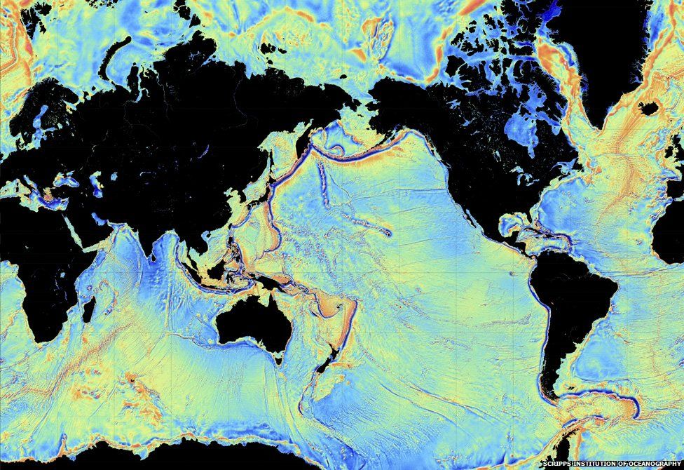
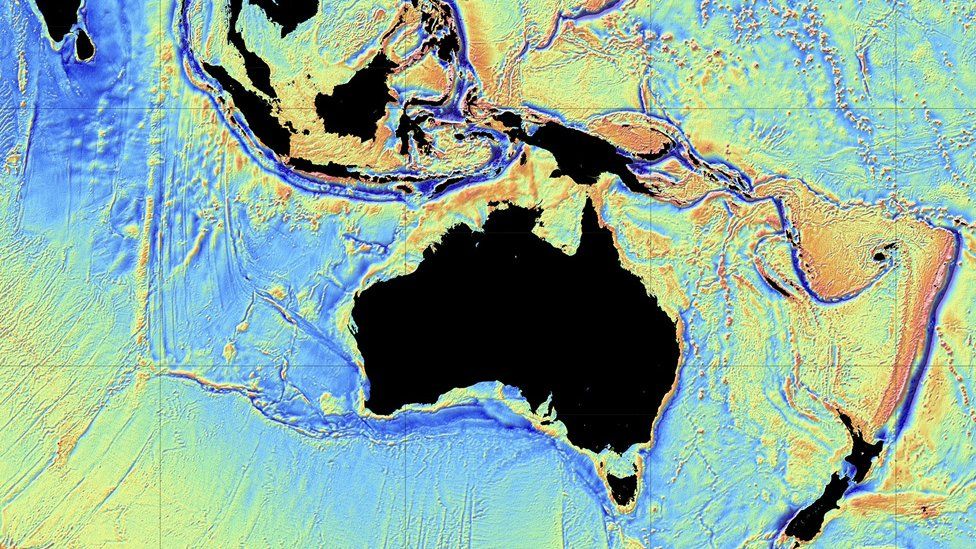
Only 5% of the seafloor has been mapped using modern methods. Even around the UK, a nation with a long maritime history, almost a third of coastal waters have yet to be surveyed in detail.
The entire Moon, in contrast, is known to a resolution of 7m, thanks to satellite observations.

"At the close of registration in September last year we had 32 teams, and after the judges looked at their technical document submissions we're now moving to 21," explained Dr Jyotika Virmani, the prize lead and senior director with XPRIZE's Energy and Environment Group.
"Collectively, there are about 350 people involved in the various teams and they represent 25 countries. So, this is truly a global effort," she told BBC News.
The XPRIZE initiative hopes to foster new approaches that can eventually be used to fill in the big data gaps.
That means the competition has to be challenging. Teams will have to deploy their solutions from land or from the air; and they cannot themselves be in the survey area at the time.
This means no cable can be used to remotely operate vehicles; they will all need to be fully autonomous.
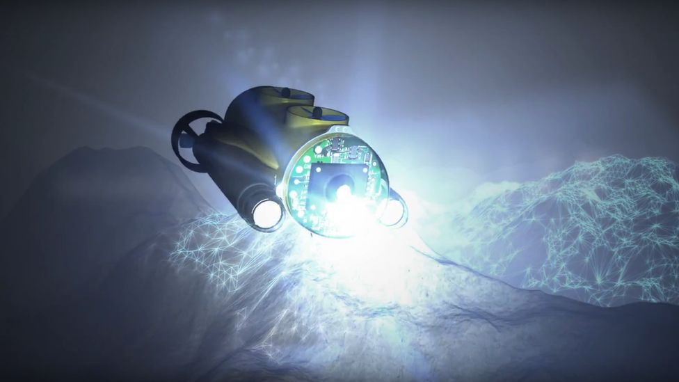
This is pushing the groups to think how best to use the technologies, from drones that can both fly and swim to robots that act underwater like a swarm.
James Case: "Our MX-1 platform will house multiple AUVs"
Oceanzus is a team based in Durham, New Hampshire, and is led by James Case. He is an industry professional with experience in autonomous and remotely operated vehicles (ROVs and AUVs).
His group has the concept of continuous operation in mind. The team is putting together an autonomous surface "mothership" that would deploy a sub-surface vehicle that itself would then release multiple survey assets at depth.
"We decided we weren't going to develop a new AUV, we weren't going to develop new pieces of survey hardware - we would instead develop a platform that supports just about any survey assets that the world can throw at it," he told BBC News.
"It's a continuous deployment platform from both the surface all the way to full ocean depth. Therefore you can perform survey operations 24/7, 365."
The sub-surface deployment platform is to be called the MX-1. It will support six AUVs that will do the actual survey work, and a further two AUVs that will shuttle back and forth to the surface to cycle power and data.
Up to 10 teams are expected to progress through the semi-final to the final, which will be held before the end of 2018.
In the final, the teams will need to operate at a depth of 4,000m; at least 50% of the 500-sq-km zone will need to be mapped, again at 5m resolution; and the time limit will be set to 24 hours.
The number of archaeological, biological or geological features that must be identified and photographed will be 10 or more.
The organisers say they will announce the precise location of the semi-final test zone in mid-summer.
XPRIZE partner, Fugro, the big international geoconsulting firm that led the search for the missing airliner MH370, will have previously produced a baseline map of the area so the judges can properly assess what the competing teams produce.
A full list of the competition teams is on the XPRIZE website.
Jonathan.Amos-INTERNET@bbc.co.uk and follow me on Twitter: @BBCAmos
- Published17 June 2016
- Published14 December 2015
- Published2 October 2014
- Published27 May 2014
- Published26 March 2012